Will heavy winter snows quench Minnesota's drought?

Go Deeper.
Create an account or log in to save stories.
Like this?
Thanks for liking this story! We have added it to a list of your favorite stories.
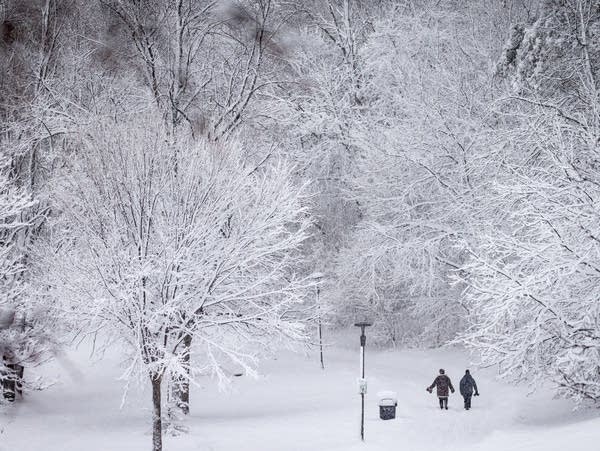
The Twin Cities region is on track for its third snowiest winter ever, but that doesn’t mean the drought is over. The speed of the spring thaw will dictate how much of that needed moisture makes it into the ground — and slower is better.
“If we have a fast thaw, that could really result in more runoff and potential flooding,” Jeff Strock, a professor in the University of Minnesota’s Department of Soil, Water and Climate, told MPR News host Cathy Wurzer Tuesday.
“I'm really going to be watching how much more snow do we pile up, how much water equivalent is in that, and then starting to pay really close attention when we get to the middle of March,” he said.
This interview has been edited for clarity. Listen to the full interview using the audio player above.
Turn Up Your Support
MPR News helps you turn down the noise and build shared understanding. Turn up your support for this public resource and keep trusted journalism accessible to all.
What kind of water do we have in the snowpack?
If you go by the numbers… this time of year, we have 34.6 inches in southwest Minnesota, for the entire winter. Last year, we had 34.7 inches. So we're also on track to have a very snowy winter. We've got about three-quarters of an inch more water equivalent in this year's snow after just three months compared to five months last year.
So, you know, there's a distinct possibility we're going to get more snow, and there's going to be quite a bit more water associated with that as we come into the spring.
So this moisture is not helpful at this point?
When we think about this, there are a lot of different scenarios that could happen. But a lot of it depends on whether we get a slow thaw or a fast thaw — that frost that's in the ground.
If we get a slow thaw event, there is a portion of that, you know, maybe 25 percent of the liquid equivalent of water, that will get into the soil and then help kind of, you know, replenish some of that soil moisture that we lost last year.
If we have a fast thaw, that could really result in more runoff and potential flooding when you think about it. Thank goodness, though, we're coming out of a drought where river levels were really low … we have a lot of storage on the landscape, which might buffer a quick thaw.
A fast thaw, it warms up quick, the snow melts really quick. We may get rain on top of that snow, and it runs off the snow and water runoff on frozen ground. And it will enter wherever it can. And oftentimes that's what creates some of the flooding.
I'm hopeful that we get a slow thaw because my flower gardens and my trees and bushes and shrubs all need water, and the farmers need water. We need to replenish. We did not get that replenishment last fall like we did coming out of the drought of 2021.
What will you be watching for in the next couple of months?
I'm really going to be watching how much more snow do we pile up, how much water equivalent is in that, and then starting to pay really close attention when we get to the middle of March. How is that weather cycle kind of starting to come out? Are we started to get some warm temperatures during the day and then freezing overnight? That actually helps slow that thaw down.
If we get warm temperatures during the day, and then we get temperatures above freezing overnight, that creates that very fast thaw and it can happen really, really quickly.
Listen to the full interview using the audio player above. —


