

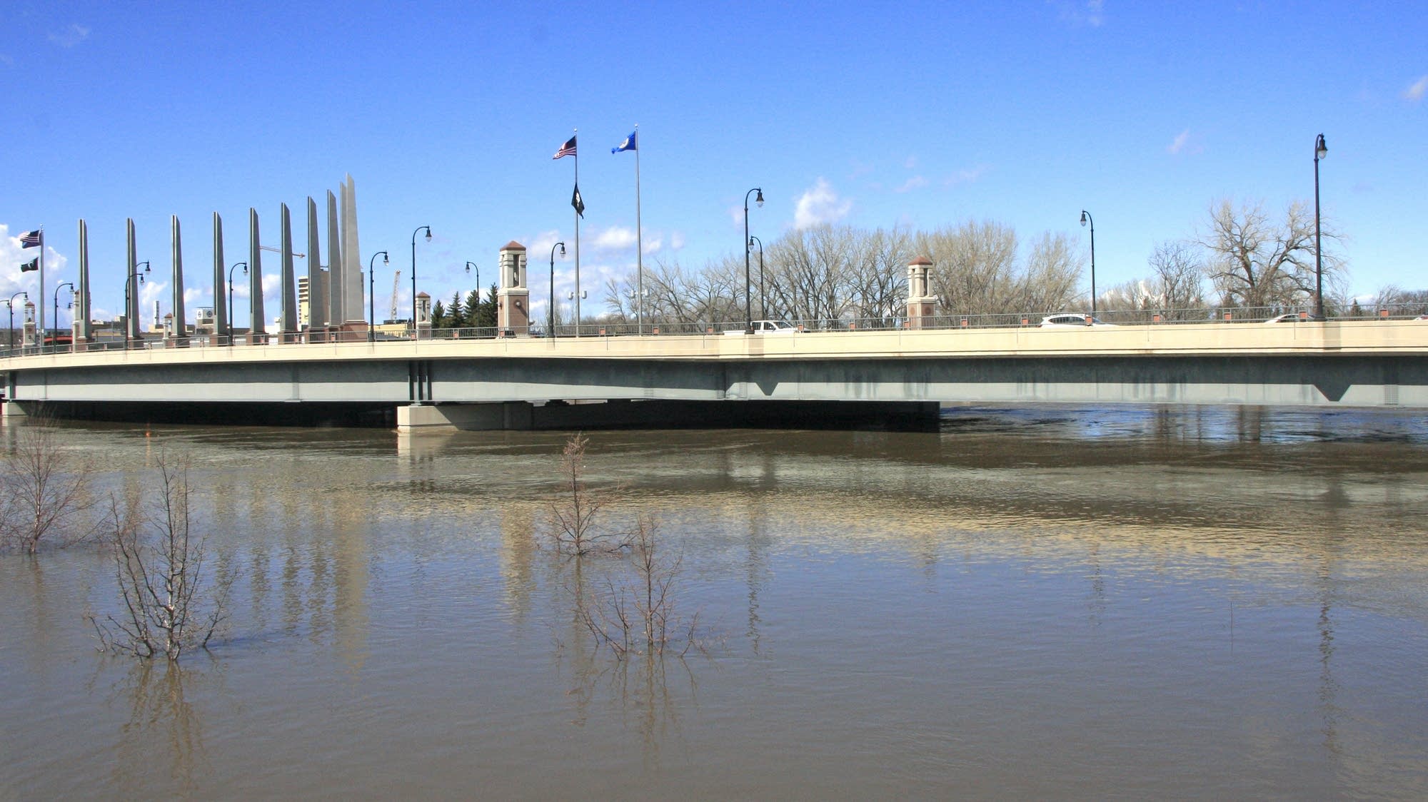
Top-five flood possible for the Red River this spring
Go Deeper.
Create an account or log in to save stories.
Like this?
Thanks for liking this story! We have added it to a list of your favorite stories.
Communities along the Red River could see a top-five flood this spring, according to preliminary flood outlooks from the National Weather Service.
The outlooks compare current conditions with previous years to establish potential spring flood levels. Specific flood forecasts aren't created until the spring melt begins.
"This year very well could be a top-five flood, though much is left to be determined," forecaster Greg Gust said during a briefing on Friday. "The fall to early winter period, going back from September 1st through December, was a record for precipitation in the area. Soils are really, really wet underlying the snow cover now."
Precipitation from September to the present is six to eight inches above normal in some areas, Gust said, and record fall flooding left ditches, wetlands and many farm fields full of water.
Turn Up Your Support
MPR News helps you turn down the noise and build shared understanding. Turn up your support for this public resource and keep trusted journalism accessible to all.
Earlier this winter there was “water freezing on the landscape and in some places not able to get to the rivers and drain off in time, so underneath our snowpack we have areas where there is still water from that fall flooding that's frozen on the landscape," said Gust.
Soils are saturated, meaning most of the spring snowmelt will be expected to run off into rivers with little of it soaking into the ground.
North Dakota officials are holding public meetings next week to encourage home and business owners to buy flood insurance.
Gust said conditions from now until spring will play a big role in the final spring flood forecast, but he said everyone should anticipate significant flooding.
"We are going to have impacts — widespread runoff, road closures, flood walls closed. Likely worse than 2019,” he said.
The spring 2019 flood on the Red River was the 10th highest on record in Fargo-Moorhead at 35.03 feet. By comparison, the record flood in 2009 reached 40.84 feet.
Long-term climate outlooks indicate an increased risk for cooler and wetter weather in late winter and early spring. Those conditions increase the risk of rapid snowmelt and runoff, with rainfall more likely later in the spring.