

Mid-summer weather check-in, weekend forecast, and more
Go Deeper.
Create an account or log in to save stories.
Like this?
Thanks for liking this story! We have added it to a list of your favorite stories.
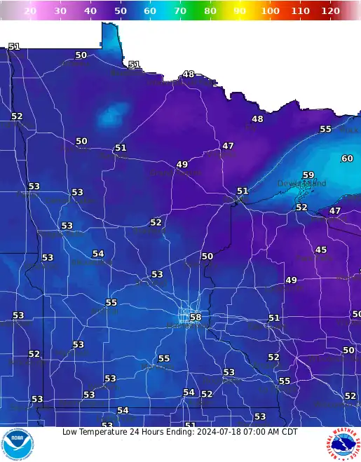
Well, it’s a relief for many of us. The weather so far has been mild, sunny, and just downright pleasant! That’s a big change from the humidity and pretty severe storms that hit much of the state over the weekend. Our chief meteorologist Paul Huttner joined MPR News Host Cathy Wurzer to break down the week’s forecast.
Use the audio player above to listen to the full conversation.
Subscribe to the Minnesota Now podcast on Apple Podcasts, Spotify or wherever you get your podcasts.
We attempt to make transcripts for Minnesota Now available the next business day after a broadcast. When ready they will appear here.
Turn Up Your Support
MPR News helps you turn down the noise and build shared understanding. Turn up your support for this public resource and keep trusted journalism accessible to all.
Audio transcript
PAUL HUTTNER: Hey, Cathy, what a lovely day. Boy, do we need this break. And 60s and 70s across Minnesota. Lots of sunshine and those dew points in the 50s. Very comfortable out there.
CATHY WURZER: Oh, it's stunning. Hey, I don't know if I was under a rock, but what happened in Iowa and Chicago Monday night was a derecho?
PAUL HUTTNER: It was. It was a remarkable textbook Iowa to Chicago derecho. And the seeds of that system, Cathy, really started in Minnesota Monday morning. We had those severe storms, Kandiyohi County. Olivia had a wind gust of 63 miles an hour. There was tree damage, there was hail.
And that system, that same front sags south into Iowa, where it just exploded in the heat of the day on Monday afternoon. Severe storms from Iowa that raced all the way east through the Chicagoland area. There were 100 mile an hour winds in Iowa and multiple 75 to 80-plus mile an hour wind reports around the Chicago area, all across northern Illinois.
Now, the National Weather Service, Cathy, in Chicago, they're still writing up the report. They've had so many survey teams in the field. They've already found at least 11 tornadoes in the Chicago area. And there's still a dozen or so damaged swaths that they're investigating. So they're not done yet. Cathy, a lot of these were what we call QLCS tornadoes, quasi linear-- let me say that again, quasi linear, QLCS convective system.
Anyway, the point is they're gustnadoes. They're on the front end of that bow echo as it races through. So that just tore up Chicago, a lot of areas of damage there. This was probably the most classic mesoscale convective system or derecho since the December 15, 2021 system that produced 63 tornadoes in Iowa. Of course, we had our latest tornadoes ever in Minnesota that day as well.
CATHY WURZER: That's right. That's right. Do we get at least one derecho a season, or is it fairly rare?
PAUL HUTTNER: No, that's about right. Climatologically for Minnesota and the upper Midwest, we average about one a season. Derechos have to go about 250 miles along the ground and produce those consistent severe wind gusts. So, boy, when they happen, they do a lot of damage, and they're still cleaning up from Iowa, all the way through northern Illinois and Chicago.
CATHY WURZER: That is amazing. Wow. OK, so let's talk about our forecast, because really, I've got friends out west in Montana who are just baking, other friends in the far west. I know you do, too. And they're just sweating, and it's horrible. And here, we're just enjoying this lovely weather. So can we expect this through the weekend?
PAUL HUTTNER: We can. It's kind of a Goldilocks forecast, to use the term, just right. Not too hot, not too cold. What we see today is pretty much what we're going to get the rest of the week with gradual warming. So mostly sunny to partly cloudy, and we'll top out around 76 today in the Twin Cities, 60s to low 70s up north.
Then 78 on Thursday, 80 on Friday, low 80s this weekend for the Twin Cities. Still a few 70s up north, but closer to 80. And just about a 20% chance of an isolated shower or thunderstorm as we head into the weekend, Cathy. So it's going to be a great week. We need everything to dry out. We need those rivers to drop. And we're getting a little bit of a break from the wettest spring on record.
CATHY WURZER: Well, yeah, wettest spring on record. And I was a little heartbroken to talk to Sven Sundgaard and to find out that we're at the halfway point of meteorological summer.
PAUL HUTTNER: I know.
CATHY WURZER: Shoot.
PAUL HUTTNER: I had to check the calendar myself. And June through August, of course, is meteorological summer. This week is halfway. We're running a little cool, as you might guess, and a lot wet. Temperatures about a little more than a half a degree cooler than average in the Twin Cities most of Minnesota. That's not too far off.
But rainfall, we've had 10 inches in the Twin Cities. That's 4.7 inches more than normal. And we've only had one day of 90 degree heat, Cathy. Just Sunday, the one day so far, we averaged 13 days. So yeah, we've seen this lack of extreme-- not even extreme heat, just normal 90 degree days here in Minnesota. So, so far, kind of cool and very wet. So again, this break from the rain is welcome.
CATHY WURZER: Do you see any warm typical summer weather, say, next week into the long range forecast?
PAUL HUTTNER: Yeah, it looks like we'll gradually heat up next week. Low 80s early in the week, maybe mid to upper 80s later in the week. Cathy, that heat you talked about out west, it looks like it'll edge into the Dakotas late next week. 90s maybe, 100 degrees, and we'll have to see if that, then, spills east into Minnesota for that following weekend. There is a chance we could heat up here as we head toward the end of July.
CATHY WURZER: OK. Hey, what's on the Climate Cast?
PAUL HUTTNER: Yeah, we've talked about the changes in heavy rainfall patterns around Minnesota, but how is it affecting our transportation system? We had a dozens of roads wash out in northern Minnesota with those storms a few weeks ago. We've had massive flooding, Iowa and Nebraska. So we'll talk a little bit about how planners are planning for these heavier rainfall events in the Midwest as our climate shifts. That's tomorrow on Climate Cast during All Things Considered.
CATHY WURZER: All right, my friend. Thank you. Run outside and enjoy the nice weather.
PAUL HUTTNER: Oh, I will. You, too. Thanks, Cathy.
CATHY WURZER: I will. Thanks. That's our chief meteorologist, Paul Huttner. By the way, if you need updated weather information at any time, just go to Updraft at mprnews.org.
Download transcript (PDF)
Transcription services provided by 3Play Media.