

Storm update: Northern Twin Cities added to winter storm warning
Already 3 to 6 inches west of the Twin Cities
Go Deeper.
Create an account or log in to save stories.
Like this?
Thanks for liking this story! We have added it to a list of your favorite stories.
Updated 7:35 p.m.
The Twin Cities National Weather Service office has added the northern Twin Cities to the winter storm warning until 3 a.m. Thursday.

Heavier snow bands have been dumping higher snowfall totals just north of the Twin Cities.
Sherburne-Chisago-Anoka-Polk-
Including the cities of Elk River, Center City, Blaine, and Osceola
730 PM CST Wed Feb 14 2024
...WINTER STORM WARNING IN EFFECT UNTIL 3 AM CST THURSDAY...
* WHAT...Heavy snow. Additional snow accumulations of 2 to 4 inches. Storm total of 4 to 7 inches.
* WHERE...In Minnesota, Sherburne, Chisago and Anoka Counties. In Wisconsin, Polk County.
* WHEN...Until 3 AM CST Thursday.
* IMPACTS...Plan on slippery road conditions.
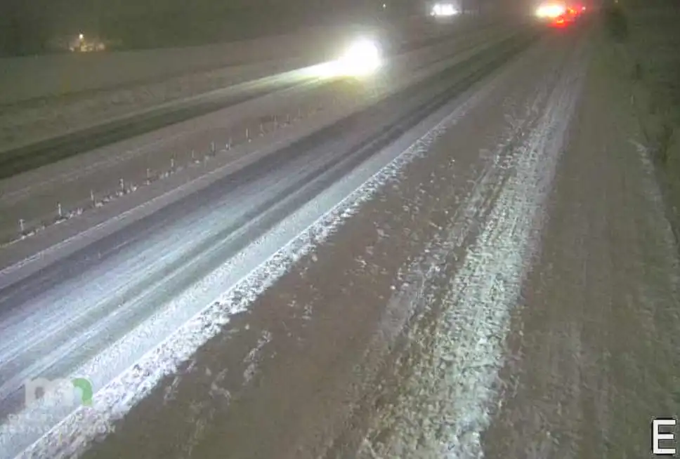
Our Valentine’s Day storm has delivered the season’s biggest snowfall across parts of central and southern Minnesota.
It’s still snowing across most of the southern half of Minnesota as of this post time. Already we’re getting reports of moderate to heavy snow, and the totals are piling up especially west of the Twin Cities.
Support Local News
When breaking news happens, MPR News provides the context you need. Help us meet the significant demands of these newsgathering efforts.
Here are some early snowfall reports with snow still in progress.
Rosemount, 1.7 inches (Dakota County)
Silver Lake, 3 inches (McLeod County)
Bradford, 4 inches (Isanti County)
Luxemburg, 5.5 inches (Stearns County)
Eden Valley, 6 inches (Meeker County)
Here is a link to a map of snowfall reports. It will be updated as additional snowfall totals are reported overnight.
Forecasts of a band of 2 to 6 inches look like they will verify Wednesday night across much of central and southern Minnesota. If anything it looks like snowfall may be heavier on the northern end south of St. Cloud.

Chilly Thursday
Roads will go from slushy to ice overnight as temperatures continue to fall below freezing. Highs Thursday under sunshine will hover mostly in the 20s with teens north.

Our newfound snow won’t last long it appears. Highs in the 40s are likely as soon as next Monday.

The European Centre for Medium-Range Weather Forecasts model is cranking out highs around 50 degrees for the Twin Cities early next week.
Stay tuned.