

A pleasant Sunday; snow chance northern Minnesota Monday
Cooler temps midweek
Go Deeper.
Create an account or log in to save stories.
Like this?
Thanks for liking this story! We have added it to a list of your favorite stories.
This weekend sunshine is nice!
A high pressure system that’s centered over the Dakotas will move very little today, so we’ll enjoy ample sunshine and reasonable winds across most of Minnesota plus west-central and northwestern Wisconsin.
Monday flake chance north
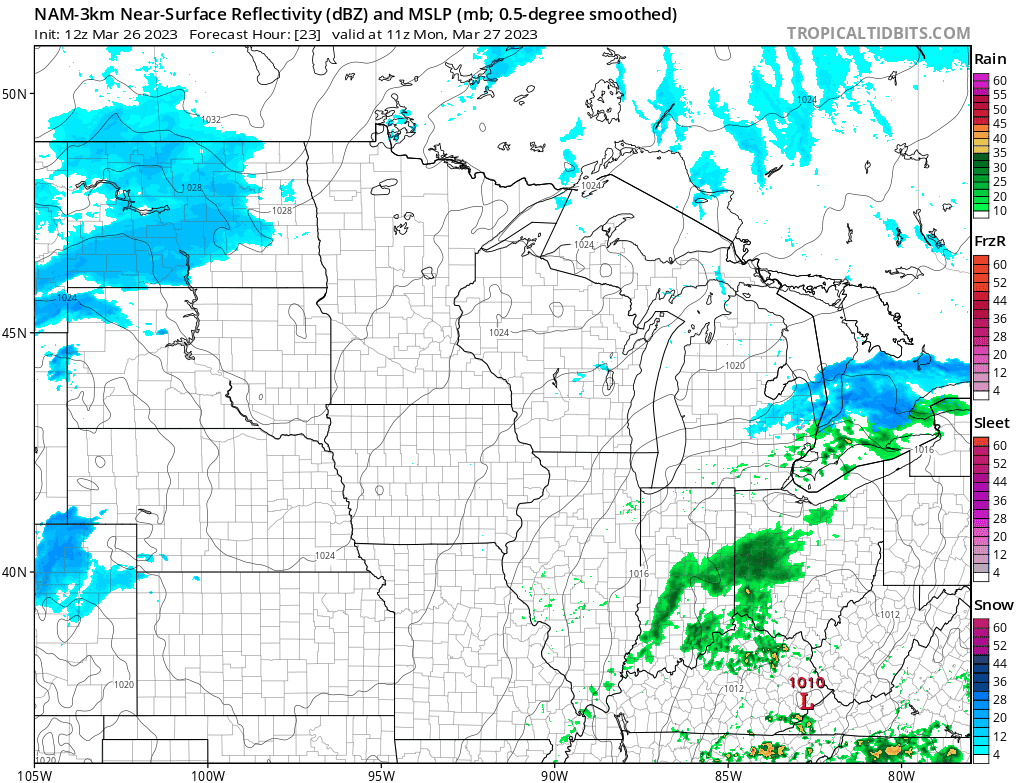
A shift in the weather pattern will bring a chance of light snow showers to roughly the northern half of Minnesota on Monday.
The National Oceanic and Atmospheric Administration’s North American Mesoscale (NAM) forecast model shows the potential precipitation pattern from 6 a.m. Monday to 11 p.m. Monday:
Turn Up Your Support
MPR News helps you turn down the noise and build shared understanding. Turn up your support for this public resource and keep trusted journalism accessible to all.
You can find updated weather information for Minnesota and western Wisconsin on the MPR News network, and on the MPR News live weather blog.
Temperature trends
Our average March 26 high temperature is 47 degrees in the Twin Cities. Metro area highs are forecast to reach the lower 40s Sunday afternoon.
Sunday highs will be in the 20s in far western Minnesota, with 30s from central Minnesota into northeastern Minnesota. In addition to the Twin Cities, most of southeastern Minnesota and much of western Wisconsin will see Sunday highs in the 40s.
Similar high temps are expected on Monday:

Cooler air arrives on Tuesday.
Twin Cities metro area highs are projected to reach the upper 30s on Tuesday, followed by mid 30s on Wednesday. Temps rebound later in the week, with metro area highs in the mid 40s on Thursday and lower 40s on Friday.
Spring flood outlook sources
There’s plenty of water in our snowpack, which has raised concerns about flooding this spring:

The timing of our snowmelt, plus additional rainfall and snowfall amounts will have a big effect on the severity of spring flooding.
The spring flood outlook for northeastern Minnesota and northwestern Wisconsin can be found here.
Flood outlook updates for central and southern Minnesota plus western Wisconsin can be found here.
Info on flood outlooks for eastern North Dakota and northwestern Minnesota can be found here.
Rain/snow chances later in the week
The Twin Cities metro area could see some light snow Tuesday night, then some snow or a rain/snow mix early Thursday, followed by periods of rain Thursday afternoon into Friday. Check forecast updates.
Weather nugget
Although most of the Twin Cities metro area still has some snow cover, there’s just a trace on the ground at the Minneapolis-St. Paul International Airport observation site:
Programming note
You can hear my live weather updates on MPR News at 7:35 a.m., 9:35 a.m. and 4:39 p.m. Saturday and Sunday.