Higher humidity and rainfall likely in BWCA fire zone
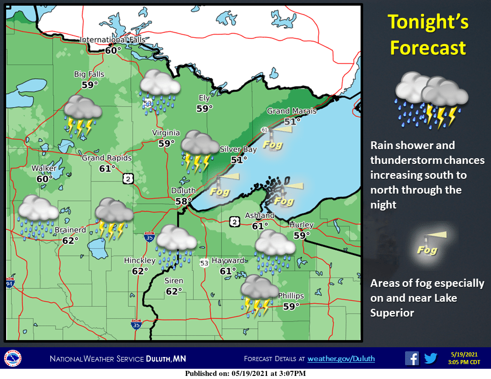
Showers increase in the BWCA Wednesday night into Thursday

Go Deeper.
Create an account or log in to save stories.
Like this?
Thanks for liking this story! We have added it to a list of your favorite stories.
They’re hoping for rain in the Boundary Waters Canoe Area (BWCA) fire zone burning northwest of Ely. The weather maps look favorable.
A moist southerly flow is pushing dew points higher. Dew points are already in the mid-50s in the Ely area.

Rain coverage increases
At least two waves of showers and thunderstorms are likely to move across the BWCA region overnight Wednesday into Thursday. NOAA’s North American Mesoscale Forecast System (NAM) model paints the precipitation zones moving north.

Rainfall totals typically show local variability during warm season rain events, so it’s tough to say how much rain will fall in the relatively small fire zone. But forecast model overall rainfall totals across northeast Minnesota and the BWCA suggest anywhere from .3 to .8 inches in many areas.

The rainfall forecast favors fire suppression, but additional lightning strikes and fire starts are always a concern.
Warmer and drier weather is likely Friday, but dew points should remain high. Dew points should be in the 60s Saturday across northeast Minnesota.

There is another chance for rain in the BWCA region Sunday and Monday.
Turn Up Your Support
MPR News helps you turn down the noise and build shared understanding. Turn up your support for this public resource and keep trusted journalism accessible to all.


