

50s today, then a frigid Easter weekend
Go Deeper.
Create an account or log in to save stories.
Like this?
Thanks for liking this story! We have added it to a list of your favorite stories.
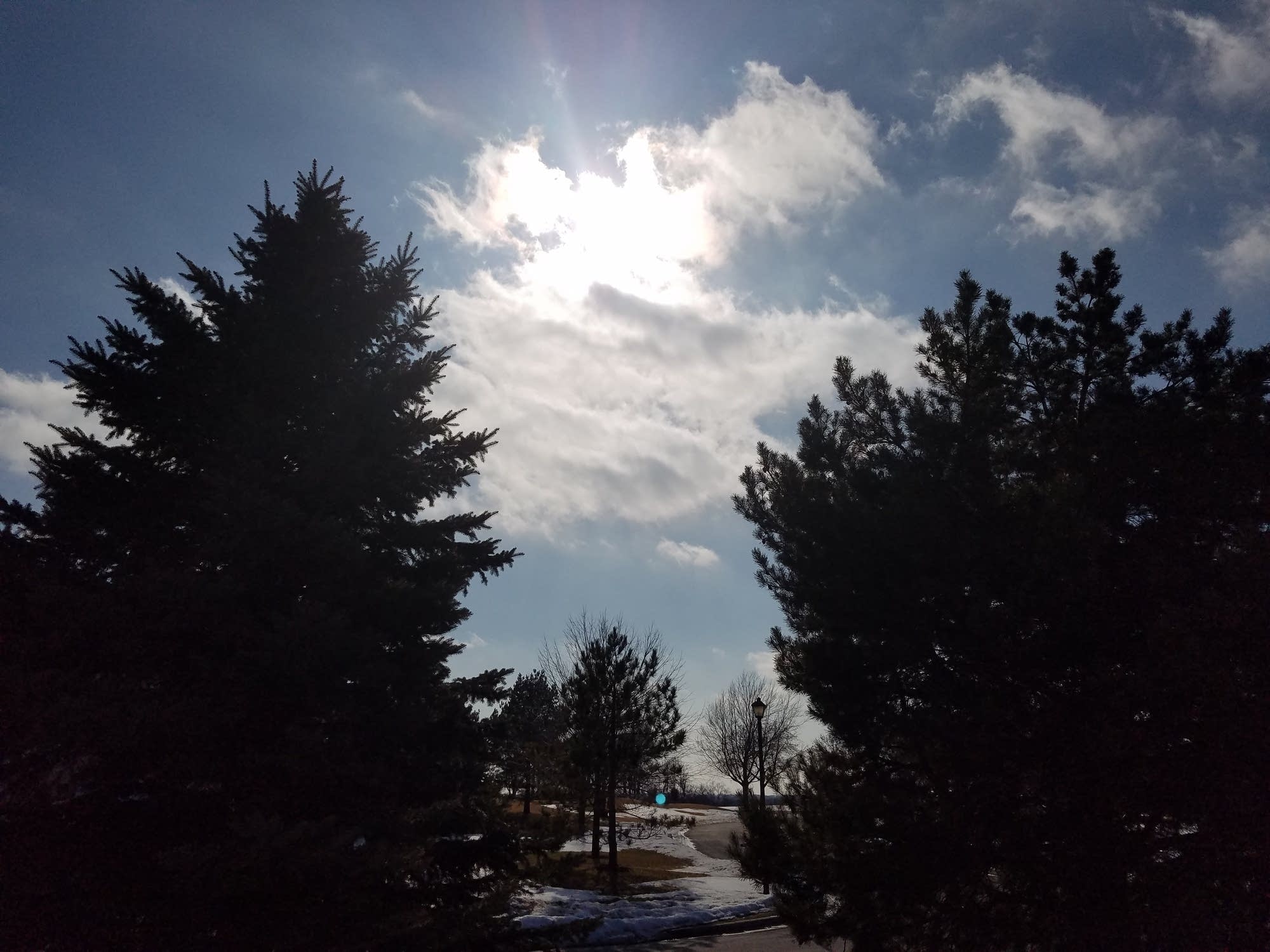
The sun felt good out there Tuesday afternoon. The morning fog and overcast layer gave way to mostly sunny skies.
Temperatures pushed well into the 40s across most of Minnesota Tuesday. Highs reached the 50s in the Dakotas.

Fleeting 50 degrees Wednesday
That milder air mass out west drifts across Minnesota Wednesday. But a cold front quickly follows. Highs will push 50 degrees Wednesday afternoon across eastern Minnesota, cooler temps in the 40s and 30s as you move northwest across Minnesota.
Turn Up Your Support
MPR News helps you turn down the noise and build shared understanding. Turn up your support for this public resource and keep trusted journalism accessible to all.

Temps tumble again
I hope you can get out and enjoy a lunchtime walk Wednesday. A wedge of milder air slides in ahead of our next cold front. A second front Friday night reinforces the cold Easter weekend.

Friday night snow chance?
Forecast models are still in flux on Friday night's snow chances. A Clipper will zip by with a chance for snow. The GFS model has shifted the snow zone south toward the I-90 corridor Friday night.

Waiting for spring
Temperatures will moderate next week back into the 40s. But the overall upper air pattern still does not favor a huge warm up as we move into early April. We may see a more Pacific flow by the second week in April.

Looking at the maps this March I have a feeling this might be one of those years where we go from what feels like winter, into instant early summer. As the inevitably warmer air mass tired to displace our wintry hangover, the atmosphere could get violent. We'll need to keep an eye on potentially early and active severe weather outbreaks.
Ice Jams
Here's a great shot of what an ice jam looks like near Redwood Falls.