June icebergs still roaming Lake Superior

Go Deeper.
Create an account or log in to save stories.
Like this?
Thanks for liking this story! We have added it to a list of your favorite stories.
Here's one you don't see every year on Superior in June.
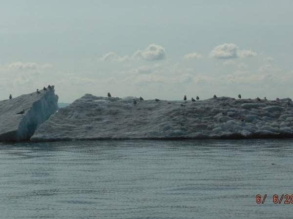
The last remnants of the iciest winter in 35 years are still afloat on Lake Superior. Check out this June iceberg captured near Madeline Island Friday by the Wisconsin Department of Natural Resources.

Marine Warden Amie Egstad said the reluctantly melting iceberg was one of several floating aimlessly around the backside of Madeline Island.
Turn Up Your Support
MPR News helps you turn down the noise and build shared understanding. Turn up your support for this public resource and keep trusted journalism accessible to all.
"We were on today’s commercial net check," Warden Amie says. "And there was this big iceberg - along with other ice packs and bergs floating around backside of Madeline Island area east towards Saxon Harbor."
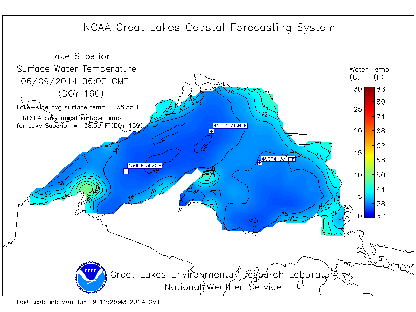
You can see why the ice is in no hurry to melt given water temps still lingering in the frigid 30s on the big lake.

Local seagulls seemed to appreciate the resting place.

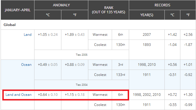
In case you were wondering, our polar vortex-driven winter and cold spring mean absolutely nothing in the context of climate change. As I've posted may times before, Minnesota has been the coldest place on the planet so far this year. This is the sixth warmest year on record globally so far.

While the Great Lakes shivered, huge areas of the globe including Alaska, Europe and Siberia have felt near record warmth so far this year.
So far in June the Twin Cities is running 1.4 degrees higher than average.
Looking at the medium range maps I have a hunch the slightly milder than average trend could hold overall this month. If it does, it will be the first warmer than average month after seven straight colder than average months dating back to last October.
Stay tuned.
Spectacular Tuesday
Today is one of those days you wish you could save for February.
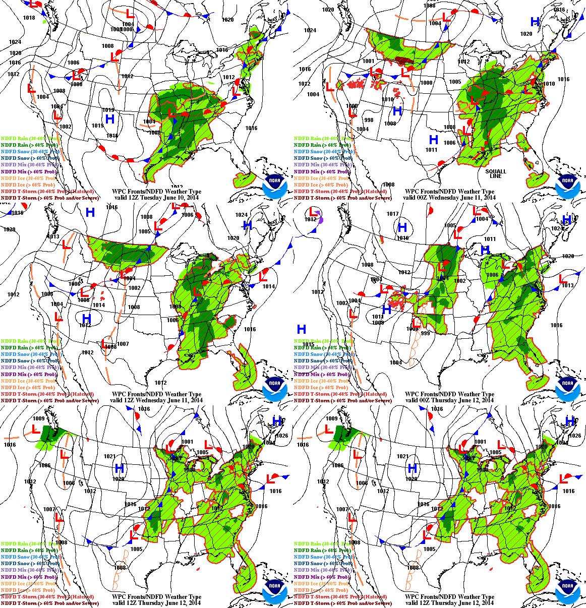
A few wispy cirrus from the metro southeast gradually fade today, and most of Minnesota will enjoy ample sunshine. Picture perfect weather holds through most of Wednesday for the metro, but the next front pushes rain and thunder into northern Minnesota tomorrow. The metro will likely stay rain free until Wednesday night.

The system shows signs of trending north, that will likely keep rainfall totals down under a quarter of an inch in the metro and southern Minnesota, with just passing storms Wednesday night.
Northern Minnesota looks in line for yet another good 1 to 2 inch soaking.

Latest trends show the system pulling out more quickly on Thursday. That means a clearing trend and sun for southern Minnesota and the metro Thursday, but it comes with a stiff northwest breeze and choppy lakes.
The next big soaking rain chances for the metro roll in -- wait for it -- just in time for this weekend.

Have a tent, or a Plan B for that grad party this weekend, and get out there and soak up that sun today!


