

Winter storm incoming: The latest forecast
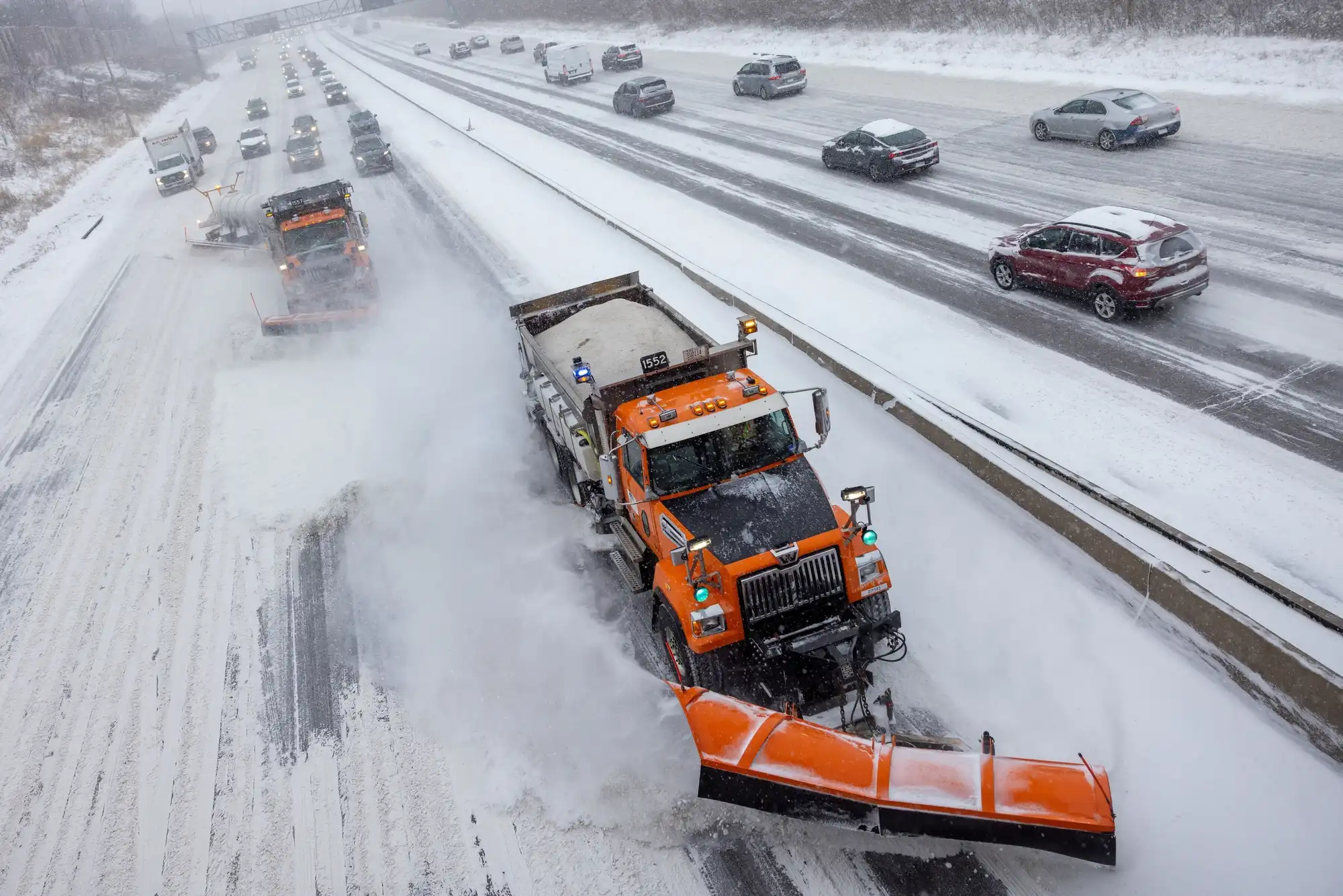
MnDOT snow plows clear I-94 in St. Paul during a winter storm on Dec. 19.
Ben Hovland | MPR News 2024
Go Deeper.
Create an account or log in to save stories.
Like this?
Thanks for liking this story! We have added it to a list of your favorite stories.
Audio transcript
[MUSIC PLAYING] NINA MOINI: It's our top story on Minnesota Now. A messy spring storm is headed our way. Southern Minnesota is under a blizzard warning for tonight, and the Twin Cities is under a winter storm warning. Joining us now with what all that means for you is NPR Meteorologist Sven Sundgaard. Thanks for joining us today, Sven.
SVEN SUNDGAARD: Absolutely, Nina. Yeah, you know when there's lots of colors on the map that there's something big happening. And this is really a textbook classic spring storm, with severe weather in Texas, Louisiana today. And on the northern end, we get rain and snow. As you mentioned, blizzard warnings, they upgraded, or I guess they downgraded, depending upon how you look at it, added Marshall and Worthington to this blizzard warning.
That is basically all of southcentral, southeastern Minnesota, all places along I-90 and then through Mankato, Albert Lea, Rochester, because not only will we see some of the heaviest snowfall totals there, but we're going to see some really strong winds develop later today, into tonight, especially.
Right now, big temperature divide across the state. It's 49 in La Crosse, 42 in the Twin Cities, but 27 in Hallock. So that's that colder air that is starting to wrap into the system. Winter storm warning for the Twin Cities goes into effect at 7:00 PM through 3:00 PM tomorrow. That includes the Twin Cities metro into Rice Lake and Eau Claire, Wisconsin. And then on the northern and western edges of all that, we have the winter weather advisory. That includes places just on the edge of St. Cloud up towards Hinckley, Duluth, Hibbing, out of the Iron Range, where we'll see a little bit less snow. But they also saw a wintry mix of some freezing rain on parts of the range earlier this morning.
NINA MOINI: Yes, Sven, I was thinking about, I thought, maybe it'll just rain, and it won't snow. But it looks like everyone's expecting some snow, or what do you think there?
SVEN SUNDGAARD: Pretty much. We can pretty much all expect some rain and quite a bit of snow in some places. But the combination is all going to really vary. Now, it is, of course, rain in the Twin Cities right now, where it's in the 40s. But that rain-snow line is just across central Minnesota right now, Little Falls, Brainerd, over towards Alexandria, some snow falling right now. And the storm prediction center actually put out a little advisory for west central Minnesota, out around Morris and Benson, expecting 1 to 2 inch per hour snowfall rates developing here over the next couple of hours. So that's that heavy snow band that is going to be the snow producer for all of us.
Marshall, St. Cloud to Duluth, we'll start to see this transition from rain to snow, as we head into the mid to late afternoon. Twin Cities, we're probably going to wait till about 6:00 to 8:00 PM. So the afternoon is just going to be these on and off light rain showers, mist. There's even a clap of thunder in southwestern Minnesota, a little thunder shower just north of Luverne in Worthington right now, so literally kind of something of everything on the map right now.
NINA MOINI: Wow.
SVEN SUNDGAARD: Yeah, as far as snowfall totals go, it looks like the bullseye is going to be just southeast of the Twin Cities, 6 to 10 inches plus in a few spots, Albert Lea to Faribault, Rochester, Red Wing. In the Twin Cities, I think we can expect 4 to 8 inches, closer to the 4 inch amounts if you're in the northwestern suburbs, closer to the 8 inch amounts if you're in the southeastern suburbs, Mankato included in that 4 to 8 inch band, probably around 2 to 4 out around Hutchinson, 1 to 3, St. Cloud, 2 to 4, Duluth, and the North Shore, for a change, getting some of the lower end amounts, just 1 to 3 inches there.
But then we're going to worry about the winds developing later today into tonight too. Wind speeds will be sustained at 20 to 30 miles an hour by the evening and overnight hours. Gusts are going to be around 50 miles an hour in the Twin Cities. But along I-90 and those areas in southern Minnesota where we have the blizzard warnings, we're talking 60-mile-per-hour wind gusts with this almost concrete-like heavy, wet snow. Yeah, that's why they're worried about power outages, because that will stick to tree branches. And then with those high wind gusts that could be causing some power outages falling on some of those lines and importantly too, in all of this, Nina, 1 to 1.5 inches of liquid water equivalent out of this system.
NINA MOINI: Wow.
SVEN SUNDGAARD: Much of Minnesota is in drought still, so this is going to be a real godsend, as far as moisture goes, because especially at this time of year, it'll actually soak into the ground, too, instead of just kind of staying frozen or running off.
NINA MOINI: Yeah, but it'll be the heavy stuff, not the powdery stuff for people to be mindful of that. And then what about the rest of the week?
SVEN SUNDGAARD: We'll be a little cooler, not surprisingly, after just mid-30s for highs in southern Minnesota tomorrow, 20s to the north. Thursday, the sun is back, though. And with temperatures around 40 here in southern Minnesota, that will be enough to melt things pretty quickly, 30s to the northern part of the state and probably hovering around 40 Friday, Saturday too. But then things are going to be warming up here pretty dramatically. It looks like by Sunday, Monday, Tuesday, 50s. Some models have gone back and forth on bringing 60s. So it is March in Minnesota, thunderstorms, snow storms, blizzards, and our first 60-degree reading possible all on the rise in here over the next several days.
NINA MOINI: Thanks for stopping by, Sven. We appreciate it. I know you'll be busy.
SVEN SUNDGAARD: Absolutely.
NINA MOINI: That's NPR Meteorologist Sven Sundgaard.
Download transcript (PDF)
Transcription services provided by 3Play Media.