Unseasonably mild Saturday; snow possible Tuesday

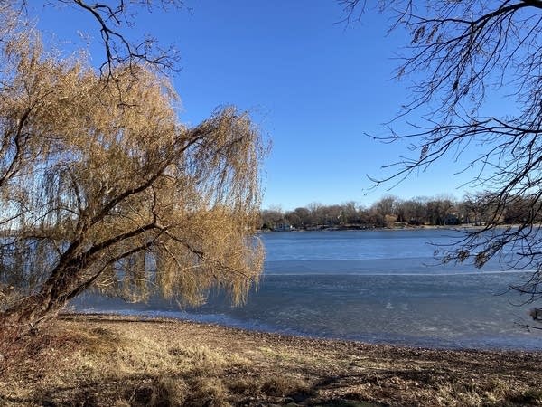
Saturday will be unseasonably mild and a great day to put up outdoor holiday decorations. A rather balmy airmass coupled with sunshine will push afternoon high temperatures into the upper 40s to mid 50s across about the southern half of Minnesota where the snow has been reduced to scraps or less. The Twin Cities should reach about 53 with a southwest breeze increasing a bit to 10 to 20 mph.
Northeastern Minnesota should see highs in the low to mid 40s, even with snow on the ground.
Northwestern Minnesota, however, will feel the effects of a cold front crossing that area. Highs will be in the 30s around Crookston, Roseau and Warroad. Flurries and sprinkles are possible in the northwest, as well.

On the above weather map for Saturday, note the strong and possibly severe storms for the Deep South. Large areas of rain will spread northeast and cause rain-soaked travel from Oklahoma, eastern Texas, Louisiana and Mississippi this Saturday morning to the mid-Atlantic States and New England by later on Sunday.
Create a More Connected Minnesota
MPR News is your trusted resource for the news you need. With your support, MPR News brings accessible, courageous journalism and authentic conversation to everyone - free of paywalls and barriers. Your gift makes a difference.
Good weekend travel conditions
Weekend travel conditions will not be a problem for over-the-roaders across Minnesota and western Wisconsin.
Return to average temperatures on Sunday
That cold front will sweep southeast across Minnesota. Flurries are possible Saturday night. And chillier temperatures are a cinch for Sunday. Highs around the state should be in the upper 20s northwest and 30s elsewhere. The Twin Cities should have a high around 37 with a light northwest breeze.
Briefly milder Monday
Monday will be a bit milder. And there is a chance of light snow across northern Minnesota. Accumulations should be less than an inch.
Snow Tuesday?
A broad band of a few inches of snow seems probable on Tuesday. The main accumulations of enough snow to shovel and maybe plow could target areas of central or southern Minnesota. Southeastern Minnesota might get rain or mixed precipitation.
Colder later in the week
Colder temperatures more typical of late November and early December are likely from Wednesday through next weekend.
