Severe thunderstorm watch for Twin Cities
Updated 2:12 p.m.
Thunderstorms are expected to pop up again late in the afternoon. The National Weather Service has posted a severe thunderstorm watch until 9 p.m. for a region that includes the greater Twin Cities and western Wisconsin:
Two rounds of showers, thunder Tuesday
After a first round of scattered showers Tuesday morning, we’ll see skies partially clear out. This will allow temperatures to warm up into the low to mid-80s.

With the daytime heating and a cool front moving across the state, more thunderstorms will pop up late Tuesday afternoon and early evening.
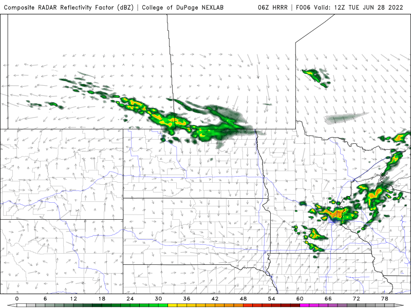
There’s a risk some of these storms could be strong to severe. There’s a marginal risk (level 1 out of 5) from the Twin Cities into western Wisconsin with a higher, slight risk (level 2 out of 5) in western Wisconsin.

90-degree temperatures return
Things will heat back up Wednesday and Thursday. Along with higher temperatures, dew points will increase.

Highs Wednesday will be near 90 in western and southern Minnesota.

Create a More Connected Minnesota
MPR News is your trusted resource for the news you need. With your support, MPR News brings accessible, courageous journalism and authentic conversation to everyone - free of paywalls and barriers. Your gift makes a difference.