Hot into the overnight; storms mainly north/west
Hot, humid into Tuesday morning

It’ll remain hot overnight Monday night with scattered storms in northern, central, and western Minnesota.. Severe thunderstorm watches are posted for portions of Minnesota Monday night.
Excessive heat, storms north and west: UPDATED 9:30 p.m. Monday
It’ll remain warm and even hot overnight as temperatures only fall into the 80s and 70s for most of Minnesota Monday night. Scattered storms will move across northern and western Minnesota. Some storms will be strong to severe with large hail and damaging wind gusts possible.
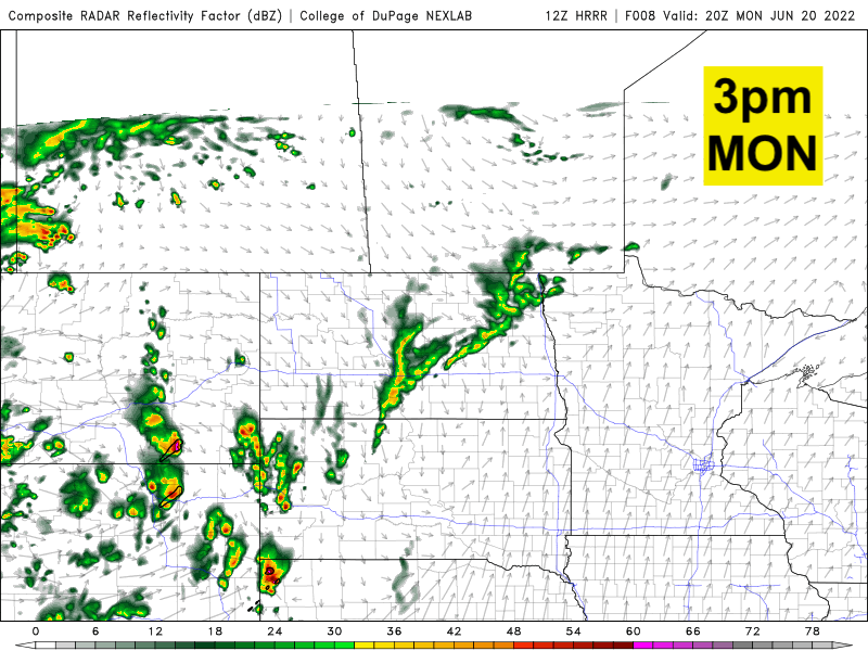
What’s left of those storms could drift east. It’s possible to have an isolated storm or two after midnight in the Twin cities.
Create a More Connected Minnesota
MPR News is your trusted resource for the news you need. With your support, MPR News brings accessible, courageous journalism and authentic conversation to everyone - free of paywalls and barriers. Your gift makes a difference.

The Twin Cities broke two records Monday: a new record high of 101 (the old record was 98 in 1933) and a warm overnight low record early Monday with a low of only 79. This beats the previous record of 75 set in 1943. Overnight lows Monday night will again be warm across the region. Another record warm overnight low is possible in the Twin Cities (74 set in 1943). Monday marked the hottest day in 10 years in the Twin Cities.

A break from the highest temperatures and dew points
Tuesday will still be hot, in the low to mid 90s across southern Minnesota.

The noticeable change will be a drop in dew points by the end of day Tuesday.

The slight break from the heat doesn’t last long. Wednesday will be mainly in the 80s south, and 70s in the north. 90s return to southern Minnesota for Thursday and Friday. Thunderstorm chances will be pretty spotty.