Unsettled pattern next several days
Showers Tuesday across southern Minnesota

Southern Minnesota will see showers Tuesday while northern Minnesota will remain dry. Thunderstorms will pop up in northern Minnesota Wednesday afternoon.
Showers mainly across southern Minnesota
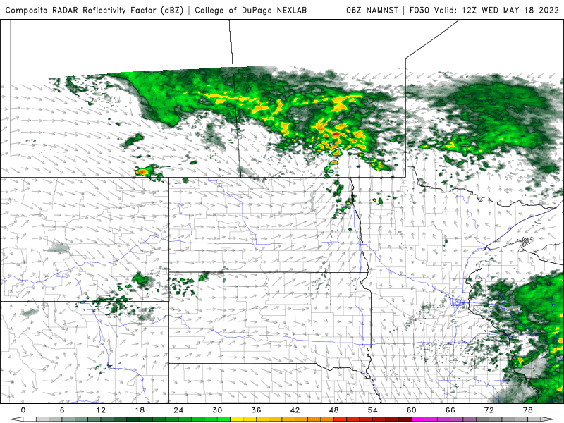
A low-pressure area centered south of Minnesota is spreading showers into southern Minnesota Tuesday but sparing northern Minnesota.

Many rivers of course are high in northern Minnesota. Here’s a photo of the Embarrass River in northeastern Minnesota outside of its banks. The river should be meandering through the swirl in the center.

The Twin Cities will largely remain dry until late in the day Tuesday when showers will spread a bit more north and east Tuesday evening and overnight.
Create a More Connected Minnesota
MPR News is your trusted resource for the news you need. With your support, MPR News brings accessible, courageous journalism and authentic conversation to everyone - free of paywalls and barriers. Your gift makes a difference.

Thunderstorms become more prevalent
On Wednesday southern Minnesota will remain mainly dry but northern Minnesota will see some pop-up thunderstorms in the afternoon. An isolated thundershower is even possible in the Twin Cities late Wednesday.
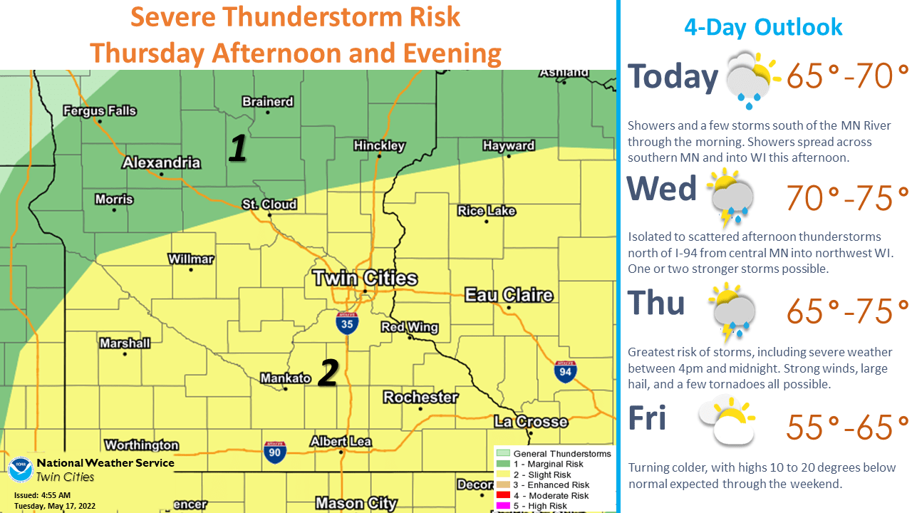
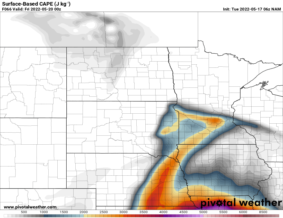
We’re continuing to keep an eye on Thursday for possible severe weather. We have a slight risk (level 2 out of 5) for severe storms as moisture and instability return to Minnesota.
The combination of higher dew points, and some dynamics aloft will create more energy available for storms. We call this convective available potential energy, or CAPE.
After Thursday we’re in for a cooler, showery pattern with more clouds as an upper-level low lingers into the weekend.