Scattered rain for southern Minnesota and the Twin Cities this evening
Spotty storms Wednesday with a severe risk returns Thursday.

Radars across Minnesota will get a little bit of work this week.
Our first rain area moves across southern Minnesota Tuesday. Areas south of the Minnesota River have already seen soaking rainfall Tuesday. Showers will develop further north and east toward the Twin Cities through Tuesday night.
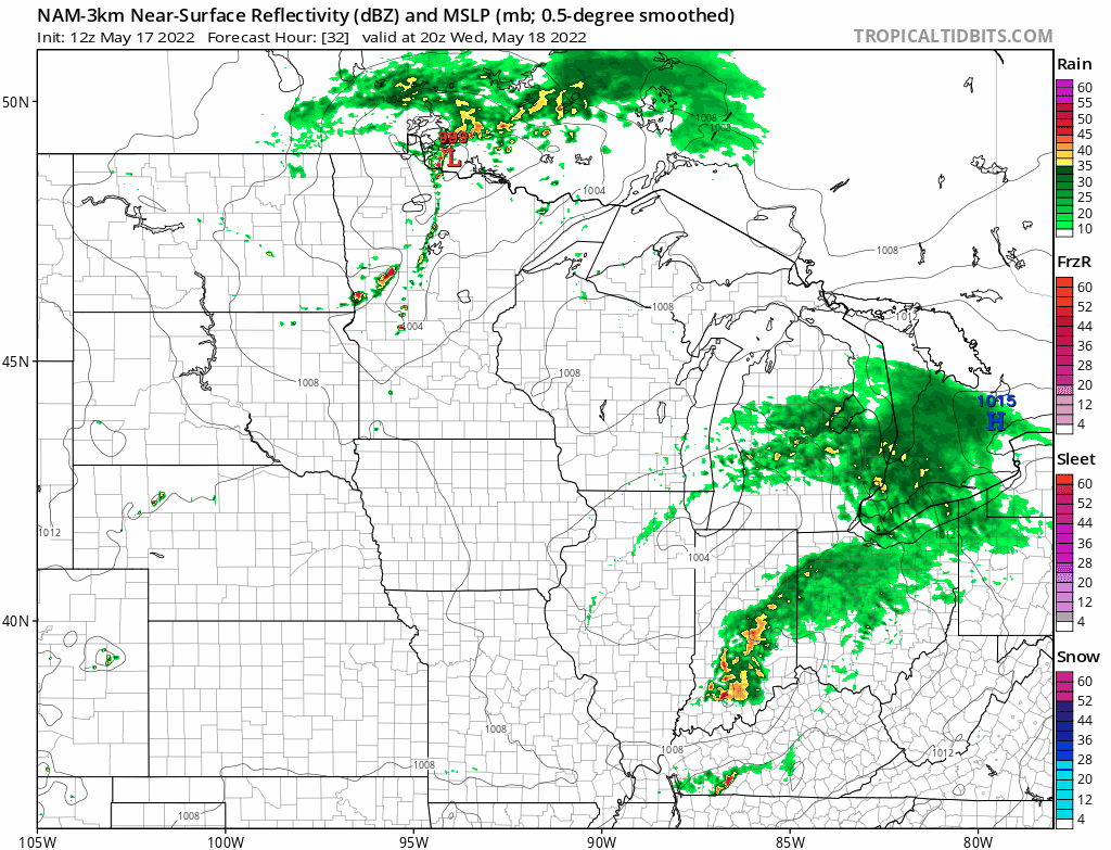
NOAA’s NAM 3 km resolution model below paints the spotty shower and thunderstorm coverage through midnight tonight/Wednesday.

A weak front crosses northern and central Minnesota Wednesday afternoon. NOAA’s NAM 3 km model develops a broken line of storms along the frontal zone from northern Minnesota about as far south as the Twin Cities by Wednesday evening.
Create a More Connected Minnesota
MPR News is your trusted resource for the news you need. With your support, MPR News brings accessible, courageous journalism and authentic conversation to everyone - free of paywalls and barriers. Your gift makes a difference.
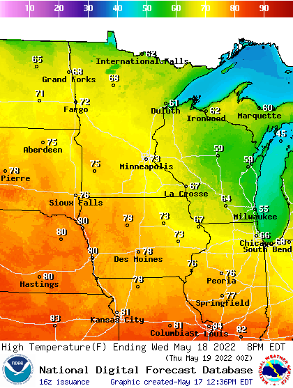
High temperatures Wednesday and Thursday will reach the lower 70s in southern Minnesota with cooler air up north.
Severe risk Thursday
The best chance for severe storms this week arrives Thursday. NOAA’s Storm Prediction Center paints the risk zone across central and southern Minnesota Thursday. The best chance for storms at this point looks to be from late afternoon through Thursday night.
Grab an umbrella or rain cover if you’re heading out this evening from the Twin Cities southward.