Storms leave heavy rain and some severe weather; sunshine and cooler this week
Over four inches of rain fell around Grand Rapids. Cooler September-like temperatures return soon.

Our Monday weather system delivered on forecasts of heavy rainfall and some severe weather.
As of early evening, the severe weather risk largely shifted into Wisconsin.
Lightning appears to have struck a house in St. Paul.
Heavy rainfall up north
Several locations in northern Minnesota picked up heavy, multi-inch rainfall Monday. Some locations picked up 2 to 4 inches of rainfall. here’s are some select rainfall reports I saw Monday afternoon:
Create a More Connected Minnesota
MPR News is your trusted resource for the news you need. With your support, MPR News brings accessible, courageous journalism and authentic conversation to everyone - free of paywalls and barriers. Your gift makes a difference.
Grand Rapids: 4.75 inches
Warba: 4.00 inches
Buyck: 3.75 inches
Hill City: 3.30 inches
International Falls Airport: 2.23 inches (daily record)
Brainerd Airport: 1.58 inches
Here’s a more complete preliminary list of rainfall totals from the Duluth National Weather Service office.
Severe weather in southeast Minnesota and Wisconsin
Numerous severe thunderstorm and tornado warnings were issued along the storm line from Wisconsin into southeast Minnesota and Iowa. Nickel-sized hail fell near Rochester at 4:25 pm.
Here are a few severe weather reports:
Septembery weather returns this week
The cold front that triggered Monday’s storms is blowing in a more September-like air mass. Highs will run in the 60s Tuesday across Minnesota.

Milder air brings high in the 70s again by Thursday.
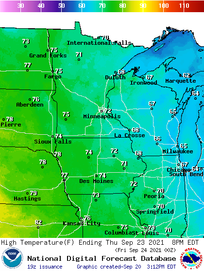
Cooler weather returns for the end of the week with highs in the 60s again.