Arctic shot: Minus 35 up north this morning
Twin Cities bottomed out at 9 degrees.
The coldest air mass of the winter season so far invaded northern Minnesota early Wednesday morning.
Temperatures dipped to negative 25 across most of northern Minnesota early today. Some locations dipped to minus 30 or colder. The temperature hit bottom at 35 below zero in Cotton and Ash Lake.

Southern Minnesota: Not as arctic
This arctic air mass is a bit of a glancing blow for southern Minnesota. The core of the Arctic air will stay up north.
A band of clouds across southern Minnesota also helped to keep temperatures from dipping below zero at many southern Minnesota locations including the Twin Cities. MSP Airport bottomed out at negative 9 Wednesday morning. Temperatures held fairly steady overnight.
Create a More Connected Minnesota
MPR News is your trusted resource for the news you need. With your support, MPR News brings accessible, courageous journalism and authentic conversation to everyone - free of paywalls and barriers. Your gift makes a difference.
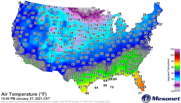
Temperatures Wednesday afternoon remain below zero across far northern Minnesota.
Warming trend ahead
Our winds across Minnesota will turn more southerly over the next 48 hours. A warm front to the south will feed milder air northward. Light snow will break out by late Friday across parts of Minnesota.
Highs Saturday will reach the lower 30s once again in the south, with 20s up north.

It will feel about 60 degrees warmer Saturday afternoon across parts of northern Minnesota compared to this morning.